Hot and stormy start to week
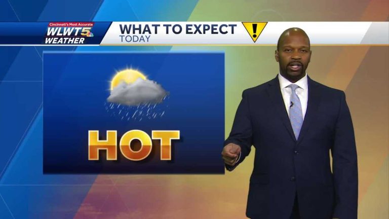
A big storm just rolled in around 430 degrees. Yes, Kevin. Yeah, and then those storms, believe it or not, originated last night, probably before you guys went to bed, when you were doing the news last night, those storms broke out in Wisconsin. And then basically they rolled all the way here. Gusty winds on arrival this afternoon. So at least I think on the plus side it helps take the heat off a little bit. Yeah, not much need for it. We're going to need more information like this as Monday and Tuesday roll around. Because if it's not the storm we're sheltering from, you're going to be out there dodging sweaty bullets because it's going to be super hot the next few days, except when it rains. Now looking out on the radar, you can see that most of the thunderstorm activity has moved out of here. Now everything comes into our extreme Southeast. Now in most communities, once this spreads, I think we're going to have a few hours of pretty quiet weather to get through that. At least the first half tonight, but you can basically see here from east of Brookville, down to Mayville, to Georgetown, to West Union. Now, you have some heavy downpours, not too severe, but you can still get wind gusts around 30 miles an hour, blowing towards the Peebles area. Once it gets out of here, we'll have a few hours of quiet weather. Mind you, I have some of the strongest wind reports yet. Winds are strongest north of the Ohio River. In fact, in Wilmington, they actually reported 66 mph. In fact, gusty winds come from complex storms. Now we're keeping a close eye on any events we try to organize in the Great Lakes region later tonight as it could turn south again as well. I've seen some storms develop on the south end of Lake Michigan and I'm keeping an eye on this activity in Iowa to see if it hits us. As we head into the night, or should I say more likely pre-dawn hours on Monday? Maybe start the day with showers and storms? The sun has returned to downtown, but that's after nearly an inch of rain fell. Officially arrived at the airport. I know some people are doing more and some are doing less, but we are definitely working on it. I don’t even want to say “winding down,” but it’s really been a constant “knock-on” with the recurring showers and storms in drought conditions. And there's more rain to come. So if you don't have enough information yet, there's more on the way. The downside, though, is that when it doesn't rain, the July sun dries all the moisture out. It will be very wet, as it is now. We were soaked in the rain at the airport and it was 75 degrees. Earlier today, before the storm, conditions were more uncomfortable here. In fact, you can see that we can adjust the temperature trend because we've gone down. We'll stay around 75 to 80 all night. Of course, it will stay moist. Therefore, the overnight low will not be below 70. However, when you deal with these groups of storms, computer models are terrible at tracking them. In fact, you know, the storm just came in this afternoon. While I think it will be quiet for much of the night, I can't rule out the likelihood that we'll be facing another round of showers and storms overnight tonight or early Monday morning. That doesn't actually appear here. So it's definitely an opportunity. Tonight into early tomorrow I want to try and whip up a storm in the humid afternoon heat. If that's the case and we wait all day for tomorrow's storms, these storms could be quite severe. We'll have to see how that plays out, but again I don't think the computers do a good job of showing the chance of showers and thunderstorms. We will leave the opportunity here. Looking at the conditions on Tuesday, I suspect we will have the threat of some strong to severe storms deep in our woods on Tuesday. So I just don't want to hang my hat on that model. Please note that we are tracking storm chances and hot temperatures, both of which will continue into Wednesday. So the rain is leaving here tonight. Wet conditions will prevail from midday into the evening, with more storms possible tonight. I'm not worried about bad weather. If anything, it's going to be a heavy rain threat for us, along with other things happening later tonight. tomorrow. question mark. If we get early rain, we'll see how that plays out. Otherwise, temperatures will be near 100 degrees tomorrow, with highs expected to be in the low 90s. We will again have the threat of scattered showers and storms on Monday. Here's your 7-day forecast. So our weather impact days for the next three days are going to be once again with Curtis and Lindsay, and without a storm it's going to be very hot outside with temperatures feeling like just under 100 degrees. , especially Thursday, Friday and Saturday. That would be an amazing feeling. summer weather A
We'll either be sweating or sheltering from the storm on Wednesday.
We'll either be sweating or sheltering from the storm on Wednesday.

