Prediction Jargon Decoders: June 20, 2024 Do you like these decoders?


Napa
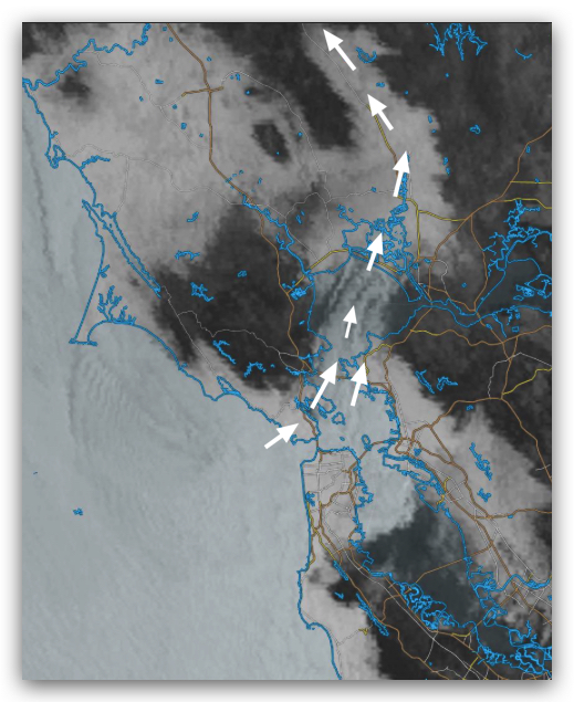
A complicated day with a combination of strong SSW/SW winds north of the Bay Bridge and SW and SSW winds on the peninsula, with deep fog being the deciding factor. This happens as follows:
1. The upper trough reduces the pressure at high altitudes, so the sea layer deepens.
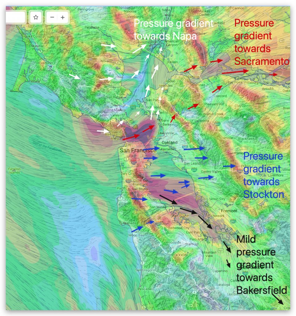
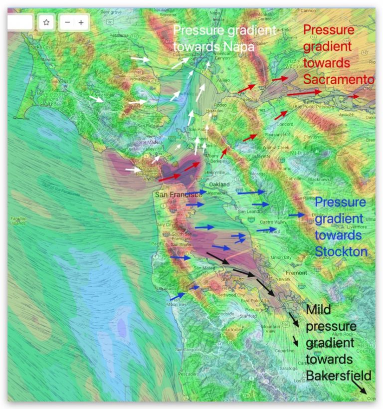
2. Napa, Sacramento, and Stockton have the strongest pressure gradients.

3. This would cause the wind through the Golden Gate and past Treasure Island to form a steeper curve toward Napa, so it might partially bypass Berkeley or even PI. Flow to the launch site in Wind Country.
4. Meanwhile, on the peninsula, the wind across the San Bruno Channel is more biased toward Stockton, so temperatures in the channel are only in the 20s.
5. However, winds at the launch site will be unstable as northwest winds (WNW) from San Bruno Gap battle with west-southwest winds (WSW) from the highway. The 92 gap area is also sucked towards Stockton.
6. If it is the third one. People on the street can work together to build a wall to block the highway. The 92 gap area will outperform the WSW flow, making their winds and my predictions better.
7. Heavy fog may return, causing early closure of sites near the coast.
