Great start to Sunday, things will change later
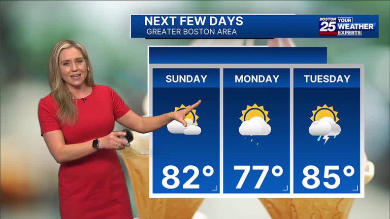
We'll enjoy another great start to Sunday with dry air and temperatures in the early 60s. Due to the influence of onshore winds, maximum temperatures will reach the mid-80s inland and the mid-70s along the coast. A storm system that formed off the New England coast will turn Sunday night, which will lead to increased clouds and the risk of showers Sunday night. For now, the focus of showers will be southeastern Massachusetts.
next week
Monday will be cloudy with scattered showers at times. But the rain won't last all day. It won't be as hot with high temperatures in the 70s, but it will feel more humid. The rest of the week will see us move into a more typical summer pattern with highs in the 80s, higher humidity, and the risk of scattered showers and storms every afternoon. Please contact us for the latest timeline and impacts we may face next week!
