As we enter the last week of July, things will start to feel like a typical Texas summer. The upper ridges in the central United States, combined with the strengthening of the high-pressure area over the Texas Panhandle, will form a “heat dome.” Temperatures will climb below 100 degrees this week. Winds will be primarily from the south at 10 to 15 mph, with gusts as high as 20 to 25 mph possible. Current numerical models indicate that the ridge will recede over next weekend, bringing a slight cooling to temperatures and creating unsettled conditions for some potential isolated showers.
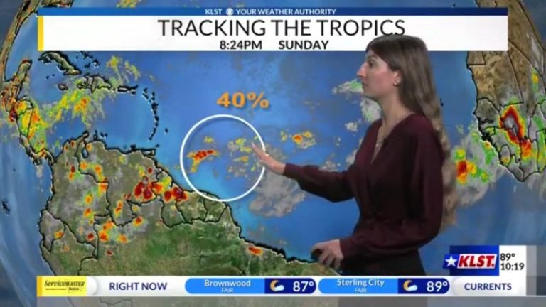
As we enter August, we are slowly approaching the peak of hurricane season. After the past few weeks of calm in the tropics, storms are brewing in the Atlantic. The National Hurricane Center is currently monitoring an area of unorganized showers in the southwest Atlantic. Environmental conditions conducive to development are expected to enter in the coming days. The NHC estimates a 40% chance of this area forming within the next seven days. It's too early to tell where it will go and what the exact impact will be on the tropics and the United States; nonetheless, it's still worth watching this week. If the system can be organized and strengthened, it could become the fourth named storm of the season – Debbie.
