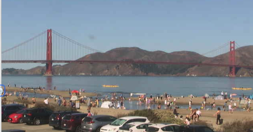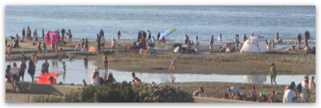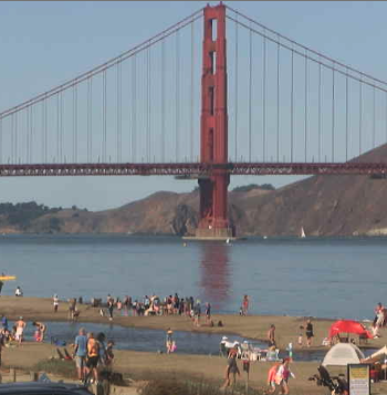

Crissy's recent afternoon massive display of bare skin must come to an end!
This is bad for San Francisco's reputation as the Smog Capital of the World, so here's my solution!
1. Direct the heat-producing upper ridge at about 18,000 feet high (500 MB) eastward. ETA: Tonight!
2. Convince the 1,800-mile-wide upper trough covering the Gulf of Alaska to move toward the coast, deepening the ocean and bringing cooling. ETA: Monday evening.

3. Pleading for the massive winter storm hitting Canada to move a little further south, pushing the North Pacific high pressure and its northwest winds toward the San Francisco Bay Area. Estimated arrival time: Monday late afternoon.
4. Let the nasty low pressure that persists over the coast retreat inland so we can provide a useful pressure gradient to the Central Valley. Estimated arrival is Tuesday and Wednesday.
Disclaimer: None of this is entirely under my control, especially the trajectory of the pressure gradient in the Central Valley.
At this point, the gradient looks to be heading toward Stockton, which could focus winds toward Anita Rock, Treasure Island Sticks, and maybe Berkeley
Sunday Forecast: Light up and down winds away from the coast except Treasure Island.
