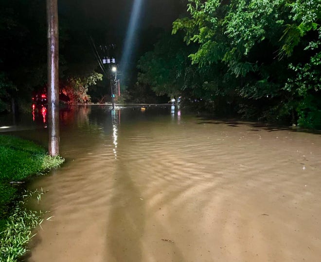
Gaston County was hit by storms over the weekend, causing floodwaters to build up on major roads and trees in several cities.
Gastonia Assistant Fire Chief Matthew Young said crews responded to six water rescue calls over the weekend.
Many of the calls came from drivers on Franklin Avenue, but other hotspots include Caldwell Street and North Firestone Street, he said.
Some residents called for water rescue.
These storms could continue into Thursday and affect the same areas, according to the National Weather Service.
“We're still basically in the same pattern that caused heavy rain to develop around the region over the weekend,” National Weather Service meteorologist Jack Wimberly said.
He said the moisture that stretches from the Gulf of Mexico to the Atlantic and causes heavy rain isn't moving because of the lack of movement in the sky.
“In this pattern, we get a lot more thunderstorms than normal, and there's not a lot of movement in the atmosphere to move them around much, they tend to sit in a small area and wait for their arrival.” Lifetime, ” Wimberly said. “It looks like this general pattern will continue through at least Thursday.”
He added that areas already experiencing excessive rainfall would be at higher risk of flooding and persistent thunderstorms.
NWS rain gauges in eastern Gastonia near Cramerton recorded more than 6 inches of rain between July 19 and 22, according to Wimberly.
