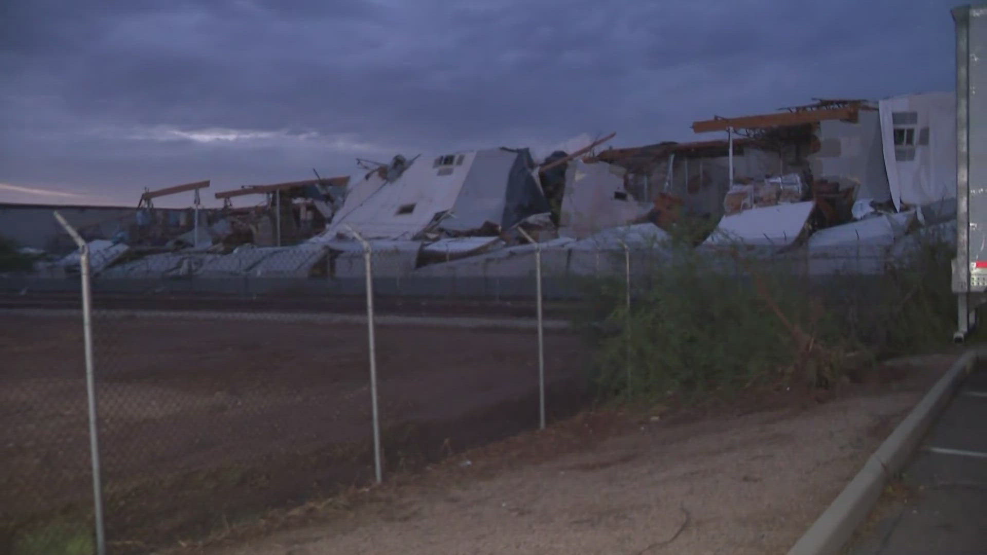
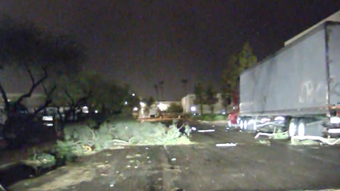
The roof and walls of a commercial building in west Phoenix collapsed due to high winds.
PHOENIX — Storms wreaked havoc in west Phoenix Wednesday night as monsoon moisture moved into the valley.
On Thursday morning, we reviewed the storm's progress and learned about new developments.
Check out the live radar here
Thursday:
The search and rescue operation for the missing workers has begun again.
The storm damaged APS power lines, leaving thousands of valley residents without power.
RELATED: Thousands wake up without power after monsoon storm sweeps across valley
The search for workers missing after a warehouse collapse in west Phoenix will resume Thursday morning. While cleanup efforts have resumed on the less damaged side, crews remain concerned that more buildings may collapse.

Wednesday:
A severe thunderstorm warning is in effect for Chandler, Mesa and Gilbert until 10:30 p.m. with winds up to 60 mph and the possibility of penny-sized hail.
Storms in west Phoenix caused the roof of a commercial building to collapse. Employees told first responders that a worker was unaccounted for.
RELATED: Storm causes roof of commercial building to collapse in Phoenix, 1 missing
Tree branches fell and emergency vehicles waited near Van Buren Street and 51st Avenue for reports of damage to buildings.


SRP reported that more than 19,000 customers were without power in the West Valley. Check the SRP power outage status here.
Service is expected to be restored between 11 p.m. and 1 a.m., according to the website.
APS reported that about 10,000 customers in the West Valley were without power. The APS outage is expected to be resolved between 10:30 p.m. and 1 a.m., according to the website.
A severe thunderstorm warning is in effect for Phoenix, Glendale and Peoria until 9:30 p.m., the NWS said.
A severe thunderstorm warning is in effect for Glendale, Peoria and Sun City until 9 p.m., with winds possible up to 60 mph and penny-sized hail possible.
A severe thunderstorm warning is in effect for Apache Junction and Gold Canyon until 8:15 p.m.
The storm east of Phoenix created outflow boundaries, one from the northeast and one from the southeast, according to the National Weather Service. A blast of wind from the northeast is expected to hit Phoenix with gusts of up to 35 mph.
A weather impact warning was issued for the second half of Wednesday as dust warnings were issued for parts of the valley. The warning is in effect from 4 to 9 p.m. and includes the Southeast Valley, Queen Creek, South Mountain, Ahwatukee and parts of Pinal County, extending into Tucson.
During the busiest hours of the evening commute, visibility may drop to 1/4 mile. It's best to avoid driving in sandstorms. If you're stuck, pull over, turn off the lights, set the emergency brake, take your foot off the brake pedal, and make sure the taillights don't come on.
Isolated storms are possible late Wednesday around the valley from the fringe. Storms are most likely to occur in higher ground, some of which may become severe. Storm risks include gusty winds, blowing dust, heavy rain and lightning.
