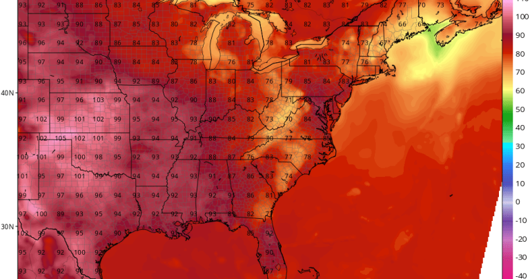
Today's highs so far are 82-88, following Saturday's high of 81-88 and Sunday's high of 79-87. The dew point was as high as 72-76 yesterday and has reached 73-80 today! As of 3 p.m., the heat index was as high as 85-97
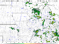
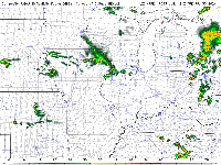
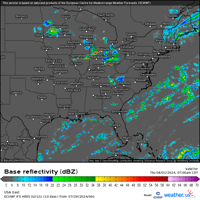
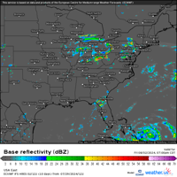
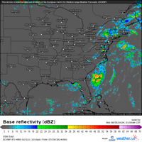
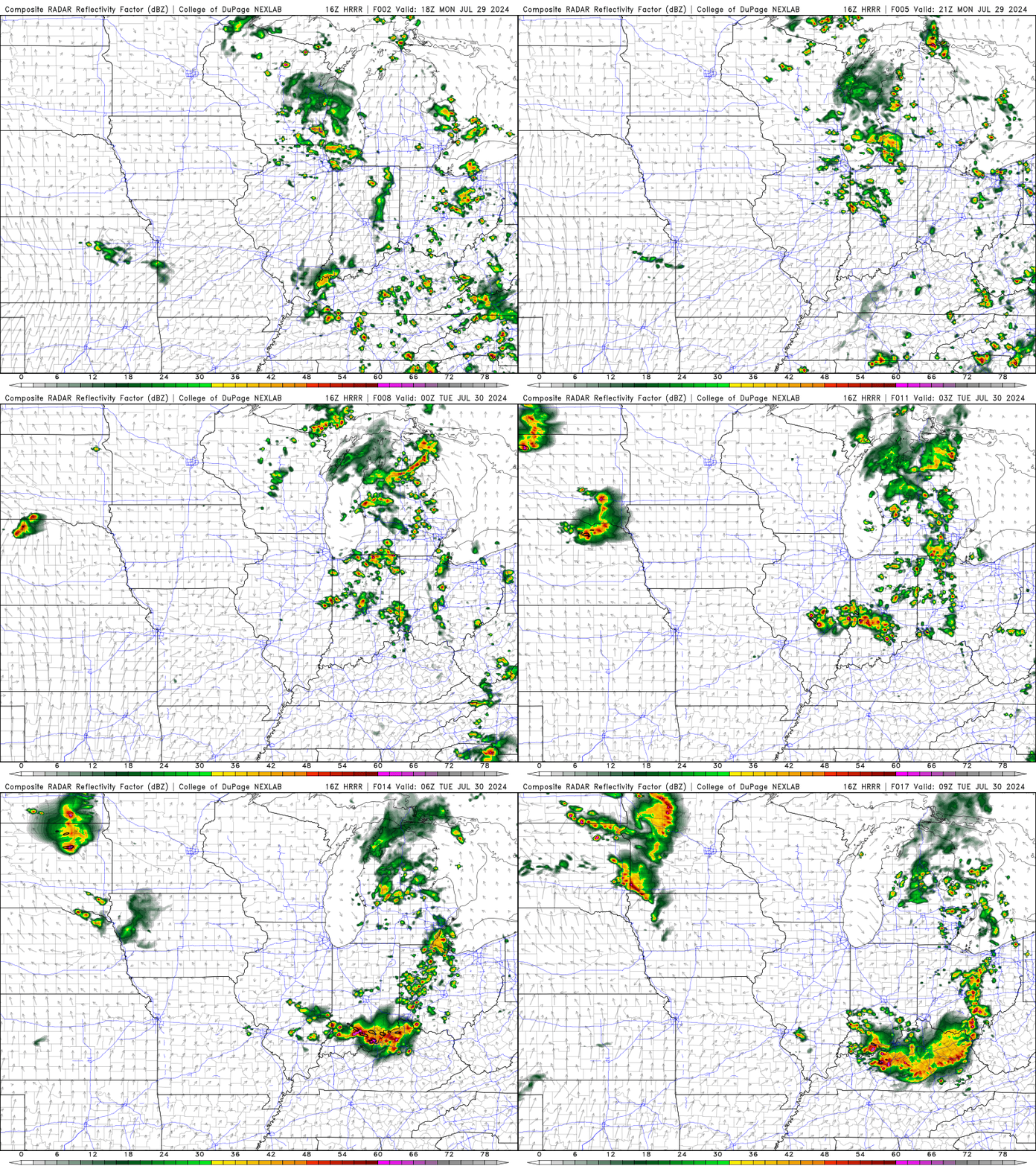
The MCV (spin from northern Illinois to lower southern Michigan can be seen in the projected radar image below) will rotate this evening, with the potential for some scattered storms over our area, condensing into more storms south of our area. Organized storm complex. There is a marginal risk of severe (high winds, hail) with any storm that breaks out.
If this happens, they will occur between mid-afternoon and midnight.
These will occur on the periphery of the plains heatwave expansion.

Tuesday will be dry and hot, with highs of 88-93 and a heat index of 95-107, with Ridge Riders moving through the area late Tuesday night into Wednesday morning.
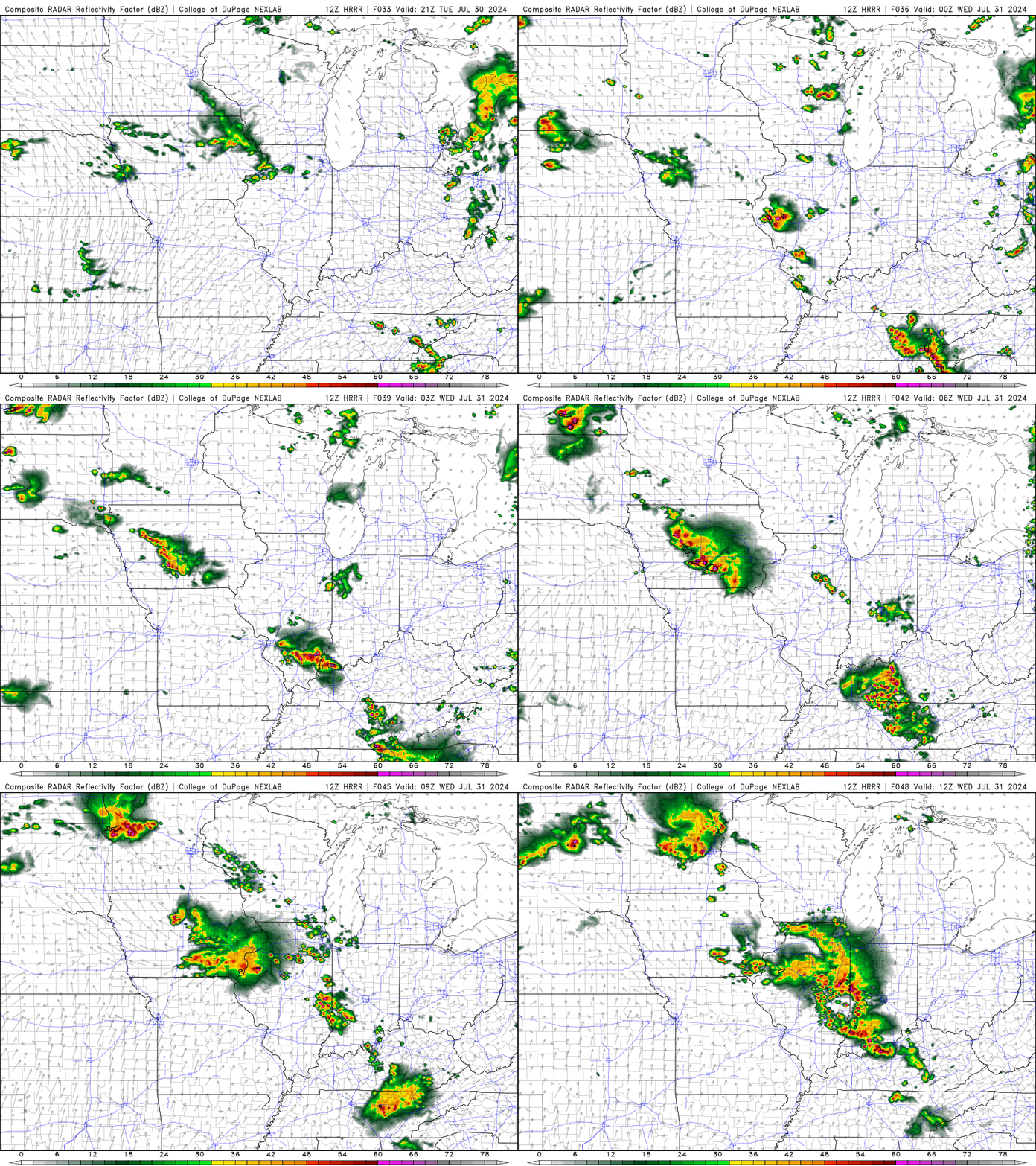
A wave of storms is possible Thursday, but the timing is unclear. Very warm to hot, muggy weather will dominate. But be aware that these “ridge rider” times may affect your daily high temperatures. If you go from late morning to early afternoon, your high temperatures will be lower.
Marginal to slight risk parameters will accompany any round of storms in part or all of the viewing area.

Scattered showers and storms are expected on Friday.

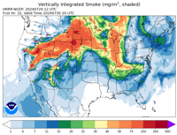
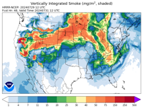
Tomorrow, the high-altitude smoke will become thicker, along with some Saharan dust.

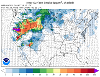
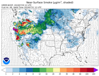
A small amount of surface smoke will mix in tomorrow, which will cause air quality to deteriorate.

The smoke thins out Wednesday into Thursday, then thickens again this weekend into the weekend, along with some Saharan dust.

Smoke also mixes onto surfaces, causing reduced air quality.

The weekend starting next week will be less muggy, but still quite humid, with temperatures in the viewing area reaching the high 80s and possibly as high as the 90s.
Looks very dry.
A window of thinning Saharan dust, a highly favorable MJO phase, and a very warm Caribbean will first bring the potential for any tropical development within weeks. It looks like a system may develop and head toward the Carolinas and Florida's east coastline. It's unclear whether it will actually make landfall or pass by. MJO supports rapid intensification given the very favorable phase 1-2 in a very favorable season. However, dust will continue to be monitored.

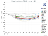
At the tip of El Niño we now see a completely neutral eastern equatorial Pacific at a time when we appear to have entered a La Niña.
Many new model data suggest a weaker traditional La Niña this winter. If it does weaken to the point of being virtually non-existent, that could add new wrinkles to the outlook for fall, winter and spring.
When the equatorial Pacific is in a near-neutral situation, you need to find out who is going to be dominant. It’s like a situation with Zach Eady and Brayden Smith out. As these two become key to the evolution of the offense, who will be the key to shaping the game?

Much of August was hotter and drier than normal. However, it still seems likely that the upper trough and tropical system will bring a welcome spell of rain and some cooler-than-normal temperatures. This tends to happen around this time in the second half of August. Use persistence forecasting methods, usually in late August.
Trends for a drier than normal and warmer than normal fall, with a more intense cool breeze in October followed by deadly freezes, followed by early cold, snowy winter weather in mid to late November to early December, with a milder start to November , there is a risk of severe weather and heavy rainfall.
The winter remains wetter and snowier than normal, with slightly below normal temperatures and above normal snowfall, and an increased risk of flooding in late winter and spring. The region experienced above-normal precipitation each month from December to April.
Have a story? let us know here
Watch more from WLFI wherever you are
With a variety of ways to find our streams, you can easily get the latest content from WLFI. You can find us on Roku, Fire TV, Apple TV and other smart TV platforms so you can watch our shows anytime. Enjoy live streaming newscasts or replays of our latest news plus local weather forecasts and sporting events in the area.
