
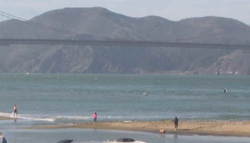
It’s 11:30 AM: High clouds are moving over Sonoma and Napa Valley, which is considered our strongest pressure gradient, so I dropped the forecasted wind values
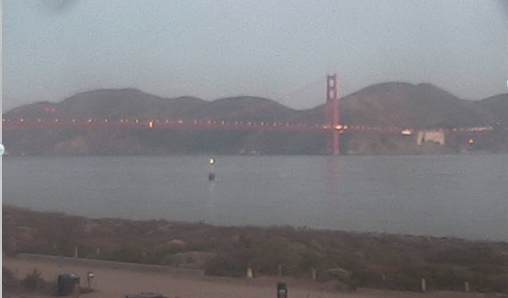
Starting at 7:30 am: The giant upper ridge that brought record temperatures moved eastward overnight, but the smaller upper ridges that produced the heat continued to heat. This caused the deadly low pressure over the coast in the morning to retreat inland in the afternoon. This creates a mild pressure gradient within the bay. The strange thing is, maximum pressure gradient It's towards Napa, so expect the BRIEF to be as low as
Larkspur/Clark Brickyard Winds around ten degrees, then fast fading winds. The north tower reaches the teens near mid-span, gradually drops into the teens near Treasure Island, and reaches the teens beyond Brooks Island. On the Peninsula, expect mid-teens around the Flying Tigers/Haskins and baseball teams. There is a chance of moderate to weak upper teens winds in Coyote and Passage 3, with light foil winds at the launch site. Outdoor wind speeds at Waddell are likely to be in the mid to upper teens, but NNE winds aloft nearby may make surface winds unreliable. Thermal bubble issues occur at most sites
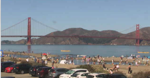
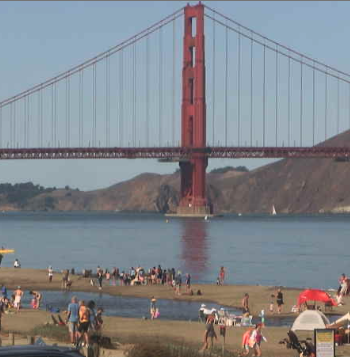
Make the wind rise and fall, FAST later FADE is very likely!
