It will be sunny to partly cloudy today and our temperature reached a daytime high of 99 degrees. The southerly flow continues to flow out of the south at around 10-15 mph and is also currently stable.
We will maintain mostly clear skies tonight while temperatures drop to around 73°. The southerly air flow should stay around 5-15 mph, with dew points in the 50s and 60s, making it feel a bit muggy.
We're heading into another scorching heat tomorrow, with temperatures expected to hit the century mark. In San Angelo, I'm predicting 102 degrees, with temperatures likely to stay around 90 degrees in southern areas. It will be mostly sunny and we will continue to have southerly winds for a few days.
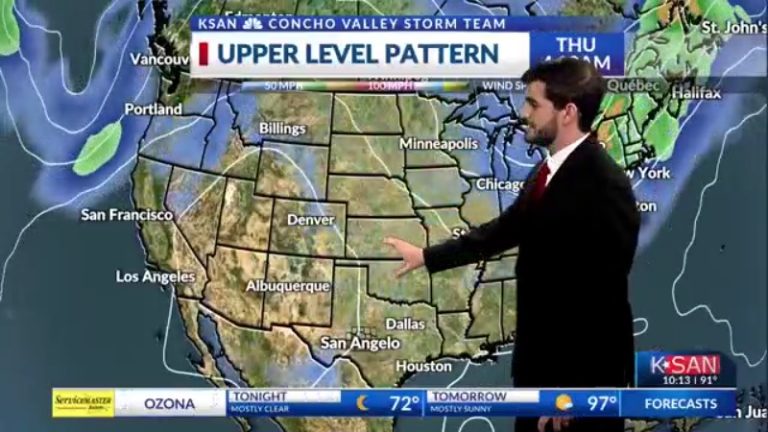
Going into this week, as we sit on the eastern edge of the heat dome over the southwestern United States, we will see hot, dry weather continue into Wednesday. By Wednesday night, we may see a weak cold front move into the area, which could trigger some showers. Currently, the better chances are Thursday into the weekend, but long-range models appear to vary widely in the timing and intensity of this rain. As of now, I'll be using about 30-40% Thursday through Sunday while waiting for more models to coordinate with each other and take a closer look at some higher resolution data in the first half of the week. As the rain arrives, temperatures will drop, from the triple digits to the more seasonally mid-90s, with nighttime lows dipping into the mid-70s.
