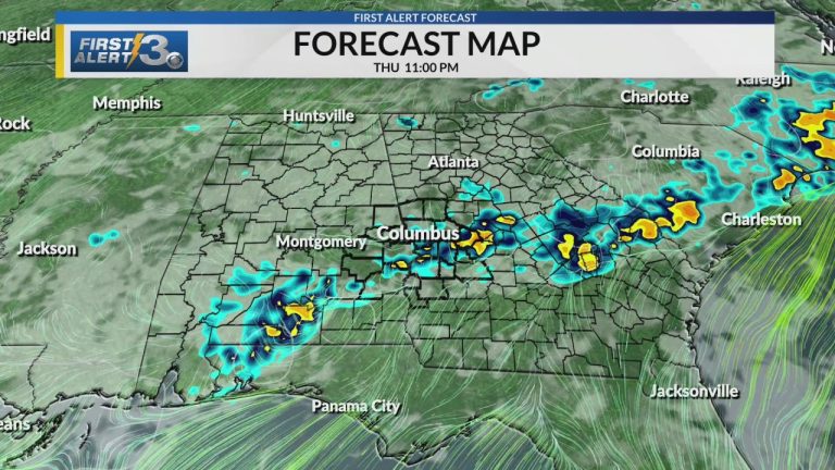
WRBL, Columbus, Georgia-We see high daytime readings drop to near average at 93° on Friday, with the weekend starting off slightly below average.
The reason for the lower readings is a cold front covering the area, bringing more afternoon cloud cover and better chances for rain each day.
The front will move north on Sunday, so we will “only” experience isolated showers and thunderstorms in the afternoon. There is still a significant Bermuda high pressure system.
This “high” setting places us on the west side of this ridge, allowing a steady flow of warm, moist subtropical air into the area.
This moist air will be enough to add isolated storms on Sunday and Monday, and eventually a few more storms Tuesday into the weekend.
Of course, this could change at any time if a disturbance occurs in the area or the Bermuda High drifts westward (dryer) and eastward (wetter)…
