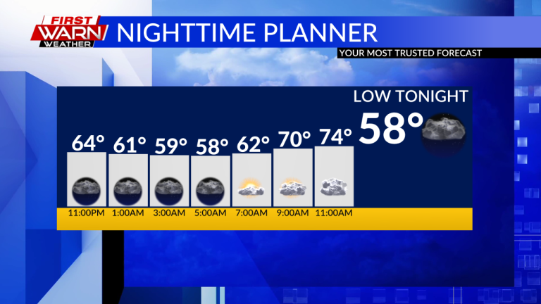
After a cool and quiet afternoon, it will be another relatively cool and quiet night in Stateline. The many sunny cumulus clouds that formed in the afternoon faded as the evening set, leaving mostly clear skies. Some of the upper clouds are starting to fill in. Overnight lows will only reach the mid-50s.

We'll stay dry through Saturday with similar sunny cumulus clouds during the day, and coverage may be a little thicker than Friday. However, an upper-level low pressure system will move through the area early next week, bringing some minor forcing and low-end moisture to provide scattered showers through next week. These events will begin on Sunday and continue every afternoon through Wednesday.

Coverage of these showers will not be as high and scattered showers will be the dominant feature each afternoon. We may also see isolated thunderstorms develop within these showers, especially Tuesday and Wednesday, and coverage may be a bit higher as well.

During this time, the relatively cold air mass will continue to persist, with temperatures remaining in the low 80s for much of the coming week. But looking toward the end of the month, the upper ridge to the west, which has been blocked, will begin to break up, allowing the ridge to expand in our direction. After next weekend, and especially going into the new moon, this will bring a return to warmer, more summer-like temperatures in Stateline.


